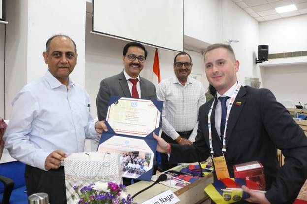
The International Workshop on Land Governance focused on modernizing land governance systems, highlighting the critical role of technology in improving property rights and reducing land disputes.
The workshop concluded in New Delhi on Saturday.
Experts shared insights into land laws, administrative frameworks, and best practices, with particular emphasis on India’s pioneering efforts, such as the use of drone-based surveys for mapping rural land parcels.
A significant highlight was the on-ground demonstration of drone survey technology in Alipur Gram Panchayat, Sohna Block, Gurugram District, allowing international delegates to witness the precision and community-centric methodology of India’s land surveying approach [Under the SVAMITVA Scheme, recognized as a global model for efficient land administration, till date 2.43 crore Property Cards have been issued and drone surveys completed in 3.2 lakh villages across 67,000 square kilometers, representing an estimated asset base of $1162 billion (as per January 2025 dollar rate), demonstrating the scheme’s scalability and impact].
The workshop also explored technology-driven land administration, including the deployment of Continuous Operating Reference Stations (CORS) Network and the use of Artificial Intelligence (AI) and Machine Learning (ML) for updating land records.
These advancements promise real-time monitoring of land data, offering significant potential for developing countries. Participants shared experiences on geospatial mapping and property rights frameworks, expressing interest in adopting India’s models to enhance their own land governance systems. Hands-on training, including live drone surveys and demonstrations of GIS applications and the SVAMITVA platform, provided practical exposure to the digital land administration process.
The workshop concluded with discussions on the future of international cooperation in land governance, emphasizing India’s leadership in digital land administration and its commitment to assisting other nations through policy collaboration, technology transfer, and capacity building. In addition, the foreign delegates also got an opportunity to explore India’s rich cultural heritage during a visit to Taj Mahal in Agra and several institutional landmarks in New Delhi, including the Survey of India Lab, Pradhan Mantri Sangrahalaya and India Gate.
About SVAMITVA Scheme: The SVAMITVA (Survey of Villages and Mapping with Improvised Technology in Village Areas) Scheme, launched by the Ministry of Panchayati Raj, provides 'Record of Rights' to rural property owners by issuing Property Cards, which clarify land ownership and reduce property disputes. The scheme has already surveyed 3.2 lakh villages across 31 States and Union Territories, resulting in 2.43 crore Property Cards issued across 1.61 lakh villages. With the support of 567 Continuous Operating Reference Stations (CORS) and high-resolution GIS mapping, it ensures precise land demarcation with accuracy up to 5 cm. The generation of high-resolution 1:500 scale maps has further enhanced the effectiveness of land surveys and property demarcation.
SVAMITVA is playing a significant role in unlocking rural economic potential by validating property ownership, enabling landowners to access bank loans and integrate into the formal financial system also benefitting gram panchayats from increased property tax revenue for local infrastructure development. The scheme strengthens Panchayati Raj Institutions by supporting improved Gram Panchayat Development Plans (GPDPs) and facilitating land ownership verification through DigiLocker integration.
SVAMITVA also stimulates India’s drone technology ecosystem, creating employment opportunities in related sectors. Additionally, it supports flood risk assessment, infrastructure and emergency planning, and solar potential evaluation for rural households. On the international front, SVAMITVA sets a benchmark in land governance, offering a scalable model for other countries facing similar challenges.