

Administrator
03 July 2025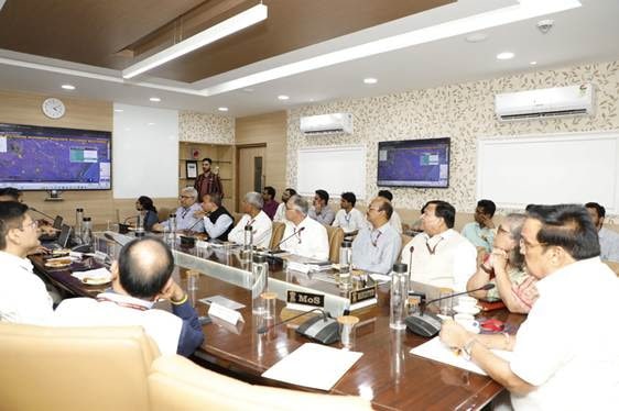
It’s called C-FLOOD. It’s a Unified Inundation Forecasting System collaboratively developed by the Centre for Development of Advanced Computing (C-DAC), Pune and Central Water Commission (CWC), Department of Water Resources, River Development & Ganga Rejuvenation (DoWR, RD & GR.
In other words,C-FLOOD is a web-based platform that provides two-days advance inundation forecasts up to village level in the form of flood inundation maps and water level predictions.
The platform will act as a unified system integrating flood modelling outputs from national and regional agencies, offering a comprehensive decision-support tool for disaster management authorities. At present, the system covers the Mahanadi, Godavari, and Tapi river basins, with more river basins to be incorporated in the future.
The C-FLOOD platform uses advanced 2-D hydrodynamic modelling to simulate flood scenarios. The simulations for Mahanadi Basin are run on High Performance Computing (HPC) infrastructure under NSM at C-DAC Pune, with integration of outputs for Godavari and Tapi Basins, which have been developed by National Remote Sensing Centre (NRSC) under the National Hydrology Project (NHP).

This project was inaugurated by the Union Minister of Jal Shakti, Shri C. R. Patil inaugurated in New Delhi on Wednesday.