

Administrator
04 July 2025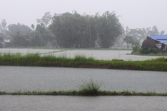
The monsoon has gained double strength over Jharkhand, with the India Meteorological Department (IMD) issuing alerts for heavy rainfall, thunderstorms, and lightning in several districts over the coming days.
According to the latest bulletin released by the IMD’s Ranchi centre, the state is likely to witness widespread weather activity until July 6 due to multiple active systems in the region.
On July 4, heavy rainfall is expected at isolated places mainly over the North-Central and adjoining North-Eastern parts of Jharkhand. Thunderstorms accompanied by lightning are also likely to occur in some areas.
The situation is forecast to persist on July 5, with isolated heavy showers predicted over the North-Western and North-Eastern regions. Conditions will remain favourable for further rainfall on July 6, particularly over the North-Central districts and neighbouring areas.
Meteorologists have attributed the intensification of monsoon activity to the presence of a monsoon trough at mean sea level extending from Bikaner, Banasthali, Shivpuri, Siddhi, Chaibasa, and Digha before dipping south eastward into the east-central Bay of Bengal.
In addition, a cyclonic circulation persists over south Jharkhand and adjoining parts of the state, reaching up to 5.8 kilometres above mean sea level and tilting southwards with height. An upper air trough also runs from southeast Rajasthan to the northwest Bay of Bengal, passing across central Madhya Pradesh, north Chhattisgarh, and Gangetic West Bengal, intersecting the cyclonic circulation zone over Jharkhand.
The IMD has advised residents and local administrations to remain alert for possible waterlogging, disruptions in transport, and lightning hazards during this period of enhanced monsoon activity.