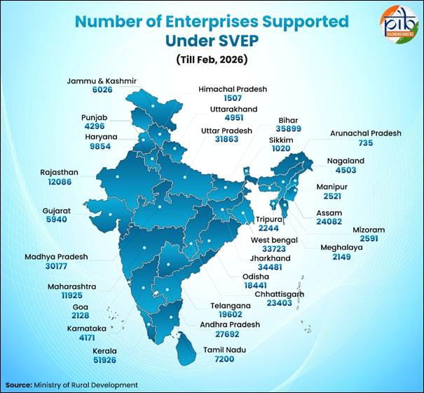
Administrator
06 December 2023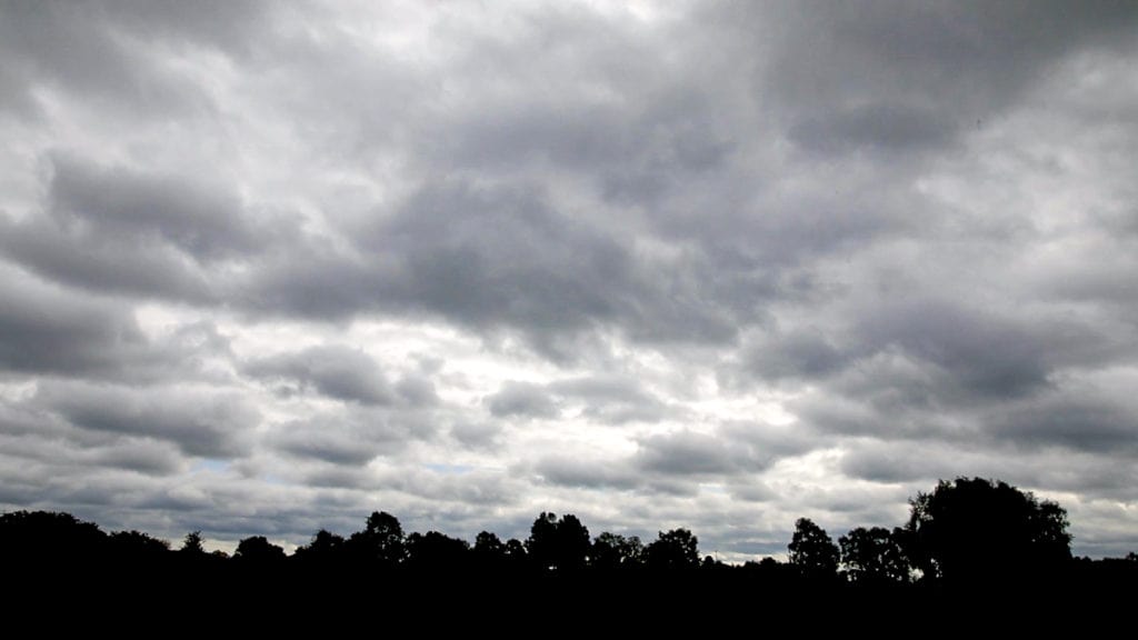
Jharkhand is enveloped by clouds and drizzles have brought the temperature down today. It is the effect of cyclonic 'Michaung'.
Though Michaung has weakened into a Deep Depression over Central Coastal Andhra Pradesh, positioned approximately 100 km north-northwest of Bapatla and 50 km southeast of Khammam, the India Meteorological Department (IMD) said in its latest update.
The system is anticipated to further lose intensity, transforming into a Depression within the next six hours and eventually downgrading into a well-marked low-pressure system during the subsequent six hours, according to the Met department.
A cyclonic storm made landfall on Tuesday afternoon near Bapatla between Nellore and Machilipatnam in Andhra Pradesh, leaving its maximum fury to be felt on Monday in Chennai and adjoining areas of neighbouring Tamil Nadu. The system has brought rainfall in several states including Jharkhand as it moves further northwards.
The weather forecasting agency suggests isolated heavy rainfall is likely over north coastal Andhra Pradesh on December 6.
Heavy rainfall is likely in Telangana, and isolated heavy rainfall over south Chhattisgarh, south Coastal, and adjoining south Interior Odisha and Jharkhand on December 6.
The southern districts of Odisha were on alert on Tuesday night as the intensity of rainfall is likely to increase. At present, the situation is normal.
There has been a prediction of an increase in the intensity of the downpour in the next 24 hours, and necessary precautionary measures have been taken by the administration to avoid any untoward incident," said Koraput Collector Abdaal Akhtar on Tuesday.
Chhattisgarh, Jharkhand and Vidarbha region of Maharashtra are expected to receive isolated heavy rainfall today. It will weaken and the sun rise in Jharkhand is expected on Friday.