Administrator
25 June 2026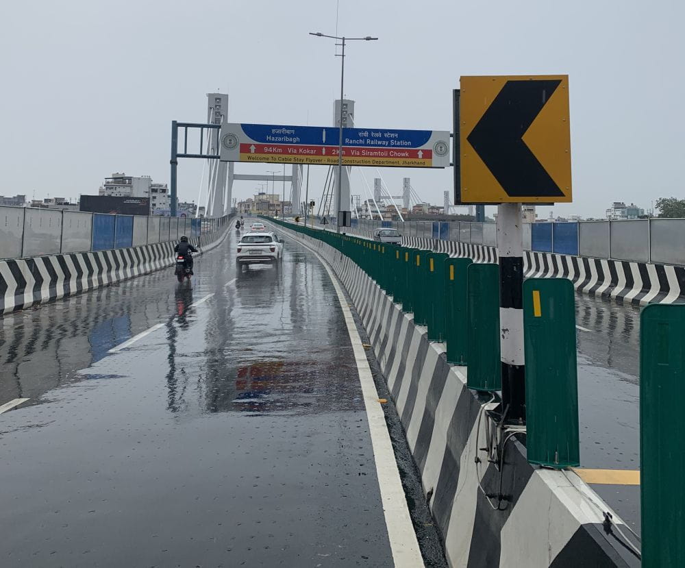
*Representational picture. Drizzle photographed on the over bridge built by L&T in Ranchi linking Kantatoli and Doranda
The southwest monsoon continued its advance across India on Thursday, spreading into more parts of Gujarat, Madhya Pradesh, Maharashtra, Chhattisgarh and Jharkhand.
The India Meteorological Department (IMD) warned of heavy rainfall in several of these states’ regions and persistent heatwave conditions in parts of north and east India on June 25.
According to the IMD, conditions remain favourable for the monsoon to move further into Gujarat, Madhya Pradesh, the remaining parts of Chhattisgarh, Jharkhand and Bihar over the next two to three days.
For June 25, the weather agency has forecast widespread rainfall activity across central, eastern and peninsular India. Heavy rainfall is likely over Odisha, Jharkhand, Sub-Himalayan West Bengal and Sikkim, while northeastern states, including Arunachal Pradesh, Assam, Meghalaya, Nagaland, Manipur, Mizoram and Tripura, are expected to receive significant showers.
Maharashtra will remain one of the wettest regions in the country, with heavy to very heavy rainfall likely over coastal Maharashtra. Heavy rain has also been forecast for Telangana and coastal Karnataka.
The warning comes after a day of intense weather activity across the country. On Tuesday, extremely heavy rainfall lashed coastal Maharashtra, including Mumbai, while very heavy rainfall was reported from Sub-Himalayan West Bengal, Madhya Maharashtra and Mizoram. Several parts of central India, Gujarat, Chhattisgarh and the Northeast also recorded heavy rain.
The rainfall activity is expected to intensify further over northeastern India, with the possibility of extremely heavy rainfall exceeding 21 cm over Sub-Himalayan West Bengal and Sikkim on June 27 and 28.
As the monsoon gathers momentum, more parts of northern India are expected to come under its influence by the weekend.